
Agnes Mone Sumareke
In-Country Agent, Papua, New Guinea
Director, Kerenda Village Project
Agnes is a forester by profession, working as a forest research officer for over 12 years specializing in developing appropriate silvicultural techniques to rehabilitate degraded and logged over forest areas. She is passionate about GIS & Remote Sensing earning a Master of Science Degree in Geo-information Science and Earth Observation. She is transitioning in her career by focusing on applications of GIS and Remote Sensing techniques in natural resources and environmental management and related fields. Apart from her primary duties as a forester, she works as a part-time consultant to firms or individuals who require expertise in GIS and Remote Sensing. Agnes is a co-founder of GeoNAREM which stands for Geoinformation for Natural Resources and Environmental Management. GeoNAREM is a multinational organization with discipline-specific expertise in the application of geospatial tools in the planning and implementation of responsible management of natural resources, as well as in collaborative stakeholder planning and decision making. GeoNAREM is represented in 5 countries, Ghana, Kenya, Tanzania, Rwanda, and Papua New Guinea. Agnes is the Principal Consultant of GeoNAREM-PNG. Agnes is enthusiastic about promoting sustainable natural resource and environment management through research and development and to address climate change through REDD+ and CDM activities.
Education
Master of Science in Geo-Information Science and Earth Observations in Natural Resources Management – 2014-2016, ITC- University of Twente, The Netherlands
Bachelor of Science in Forestry Science – 1998 -2001, PNG University of Technology, Papua New Guinea


 Biodiversity (B) Avoided Carbon
 Gorilla Habitat (G) Avoided Carbon
 Methane (CH4)
 Indigenous Peoples (IP) Avoided Carbon
 Improved Forestry Management (IFM) Sequestration
 Afforestation (AF) Sequestration
 Agroforestry (GF) Sequestration

 The System of Systems (SoS)
 QuantumQarbon
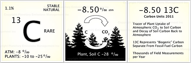
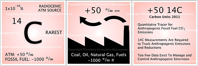
 Carbon isotopic analysis (IA)

 Carbon Dioxide (CO2)
 Working Forest Carbon Sequestration
 Eddy Covariance (EC)
 Soil Accumulation Chambers (SAC)
 Soil gas probes (SGP)
 Exsolvation of Dissolved CO2 (CO2(aqueous)) and CH4
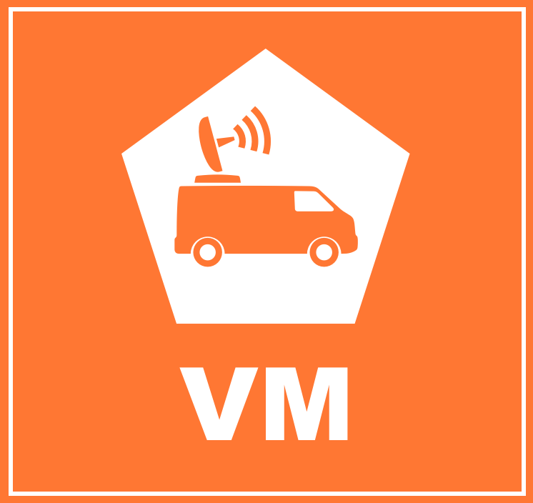 Vehicle Mounted Fast Response Gas Analyzers (VM)
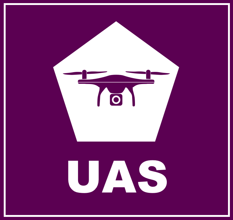 Unmanned Aerial Systems (UAS) and Remote Sensing (RS)
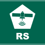 A variety of UAS’s may be used in a project to record the status of forest conditions at low altitude (e.g., ~1,000 ft) on a routine basis, when a disturbance has occurred (e.g., hurricane, drought, timber operations) or for surveillance of forest activity by landowners or others accessing the site. Typical capabilities may include spectral imaging of the tree canopy and mapping functions to reveal differences along the flight path over time. In addition, UAS’s may also carry miniaturized gas sensors for CO2, CH4 and other atmospheric gases. The use of remote sensing (RS) for ecological research is well documented covering spectral bands for normalized difference vegetation index (NDVI), leaf evapotranspiration and other features of the biotic and abiotic project area.
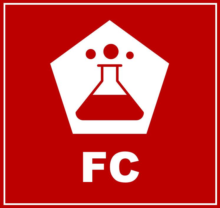 Flask Collection (FC)
 Nitrous Oxide (N2O)
 Sulfur Hexaflouride (SF6)
 Tree Plantation
 Perfluorocarbon (PFC)
 Water Vapor (H2O)