PαC Gaia Monitor
Forest Carbon Investment Development Portfolio #2:
GIERI | Shabunda Region, South Kivu Province, DRC, Africa
Les Forêts de la Paix
UPDATE 02-01-2021: THIS PROJECT NOW IN-OPERATION
Project Area Extension in 2021: Western DRC to Boundary with Republic of Congo Including the Cuvette Region of Lake Tumba, Extending North to the Congo River
Overview:
GIERI is a grassroots conservation and sustainable development organization operating in eastern Democratic Republic of Congo, South Kivu Province, Africa. Enhancing carbon storage by reforestation, conserving land for Indigenous Populations, providing trees for community forest growth, and developing agroforestry programs, represent a mix of carbon and GHG reduction strategies to be monitored by PαC. The economic benefits realized by the project activities will be used to improve the lives of all those in the region. Improvement in nutrition, sanitation, education and community services are needed across the Shabunda region. An additional project perspective is to encourage Les Forêts de la Paix given the history of conflict in the region.
GIERI Coordinator and Executive Director, Patrick Kaka, will direct the project and serve as an intermediary between PαC and the landowners, overseeing the implementation of the PCα project, and ensuring that landowners are aware of what the PαC project entails. The Shabunda region while sparsely settled has been subject to deforestation in the past while representing a landscape likely to experience high population growth in the coming decades. The Shabunda project forest area is largely not formally under conservation agreements emphasizing economic drivers to realize success for the project.
As part of the project, a map was recently completed outlining the perimeter of the project area. The map was made by traversing the perimeter by motorbike and by foot with a GPS reciever that shared locations with our GISS Analyst Aaron Doucett. The project boundaries are now set completing Phase I of the project. We are now in the implementation process of Phase II expected to be completed by January of 2019.
Land Area:
- ~200,000 hectares
The project area, covering ~ 200,00 hectares of land, is located north-east of the growing city of Shabunda, consisting of three land areas. The project boundaries are pending review.
Field Measurements and Methods:
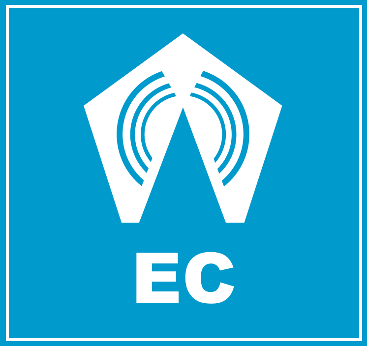
- Network of CO2 and CH4 Flux Analyzers (Half-Hour Intervals) across the project area (SoS, EC).
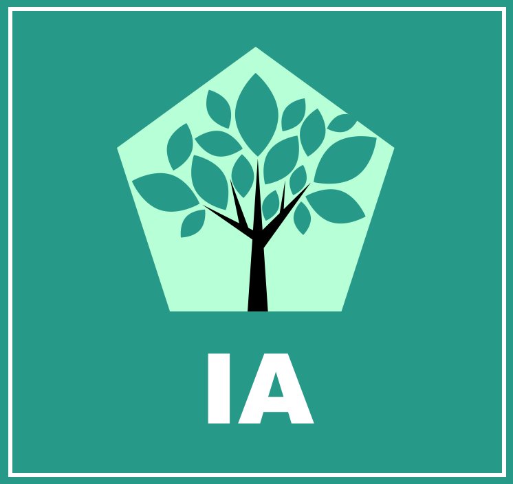
- Isotopic flux (QQ) for CO2 (13CO2, 12C16O18O) and CH4 (13CH4) will deployed after initial base stations have been established.
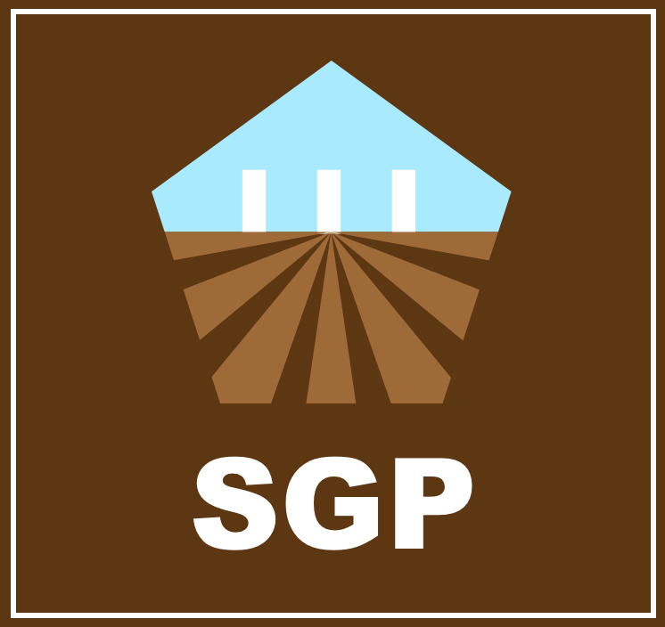
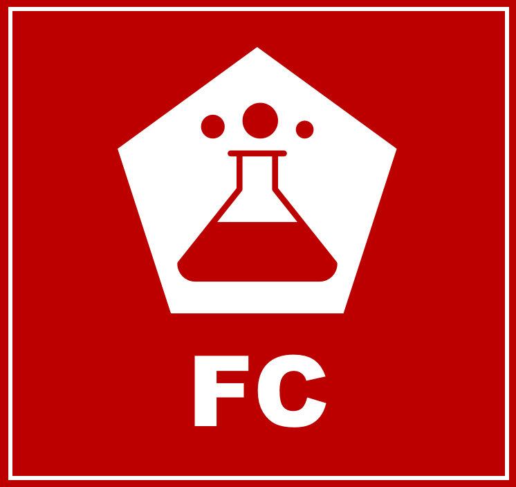
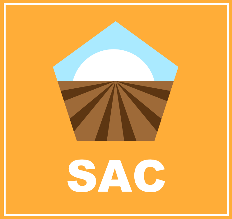
- Soil CO2 and CH4 Flux Chambers (SAC), soil gas probes (SGP), flask collection (FC) and isotopic analysis (IA).
- High resolution project monitoring employing PαC drone fleet (UAS).
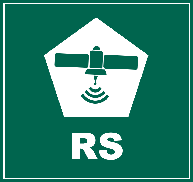
- Remote Sensing (RS) Commercial Services:
- Light Detection and Ranging (LIDAR) for determination of standing biomass
- Landsat data for spectral imagery
- GHGsat for methane plume detection, and other available data sets of relevance.l
Biosphere Box Products:
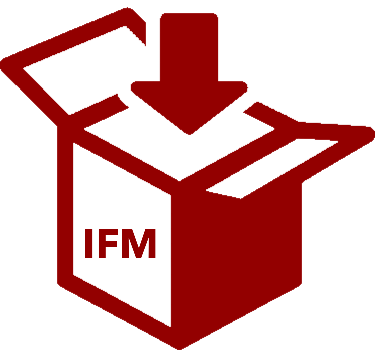
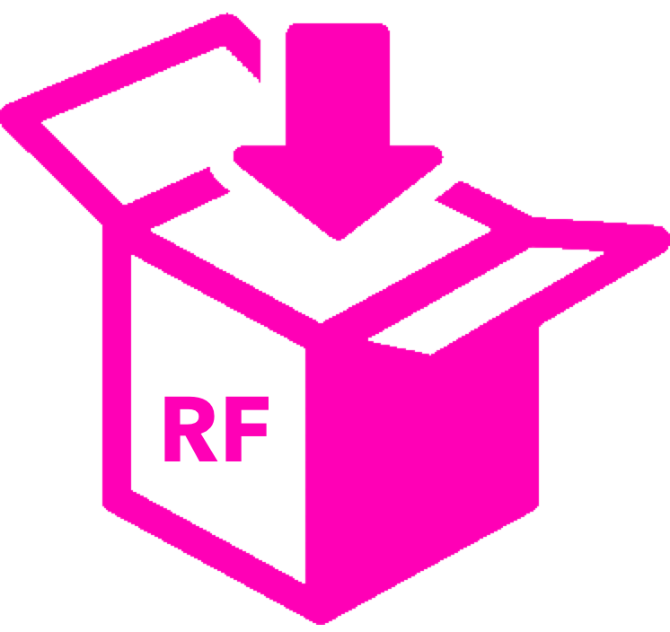
The Biosphere Box products flow from the measurements and methods and will include the full range of projects including active sequestration by improved forest management (IFM), working forests (WF), reforestation (RF) and agroforestry (AGF) and avoided carbon (GHG) emissions from enhancement in biodiversity (B) and land rights of Indigenous Peoples (IP).
Gallery

Press Releases
Forest carbon sequestration project takes root in Shabunda region, DRC, Africa, with a focus on sustainability for future generations
The City of Shabunda, nestled within a curve of the Ulindi River, hosts 250,000 inhabits while dense forests to the north are sparsely settled. How could forest carbon sequestration programs be financed and benefit the forests and future generations of the region? The Shabunda Forest Carbon Project attempts to answer these questions.
CO2 Flux Network for 2+ Million Acre Democratic Republic of Congo Forest Carbon Sequestration Projects Proposed to Reverse Deforestation with Economic Benefits
Planetary Emissions Management Inc. and EmiAfrican will deploy a network of CO2 flux sensors across diverse landscapes of the Democratic Republic of Congo to support new tradable GHG products with the goals of reforestation, cultural preservation, and economic benefit.
PEM Finds Forest Carbon Value In the Heart of Africa
Planetary Emissions Management Inc. (PEM) will be participating in the Global African Investment Summit, London, December 1 & 2, seeking investor and forest landowner partnerships in the heart of Africa. PEM plans to apply its patented hardware and financial mechanisms to reforest African land and to protect some of the least disturbed forests on the planet. The PEM approach is based on direct measurement of forest carbon, eliminating estimation and pricing uncertainty for carbon products.
In-Operation
Measurements
Please click on the icons below to see what each measurement signifies.
Methods
Please click on the icons below to see what each method signifies.

Biosphere Box Portfolios
Active Sequestration Box Products
Please click on the icons below to see what each box product signifies.


Avoided Emissions Box Products
Please click on the icons below to see what each box product signifies.


The map shows the approximate project area subject to verification.


Project Sensor Plan
Pending Review
Project Timeline
Pending Review
Project Revenue Projections
Pending Review
GIERI asbl
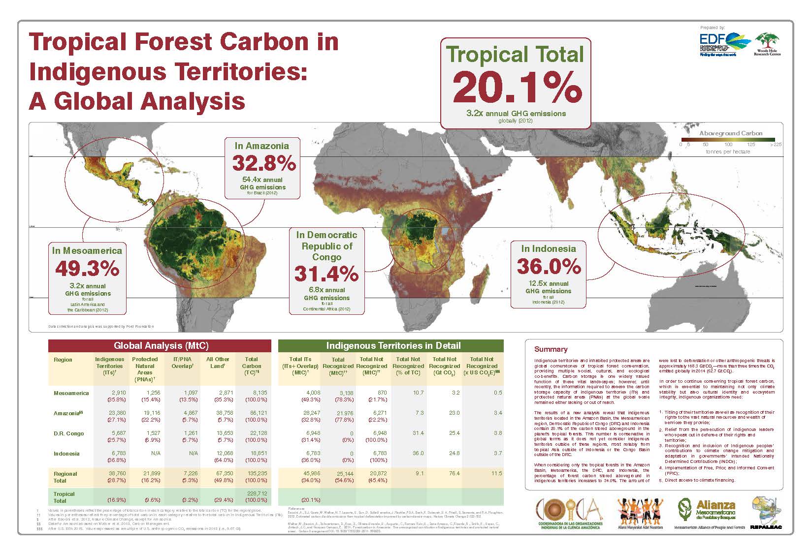
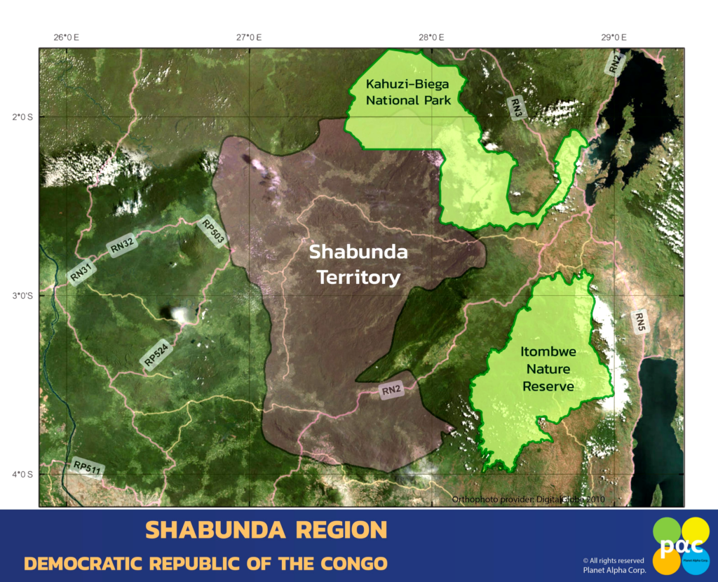 GIERI (Groupe d’Intervention Pour l’Encadrement Et La Rehabilitation Integrale, or, Intervention Group for Farming and Integral Rehabilitation) is a nonprofit organization registered in the Democratic Republic of Congo since 1997. Headquartered in the city of Bukavu, DRC, the goal of the project is to develop methods to sequester carbon and reduce total GHG emissions in the region. The project aims to engage the local population in a long term effort to manage the forest and its resources for growth and sustainability while generating tangible benefits and income. PαC will deploy analyzers within the System of Systems network to provide real time, high frequency data for GHG net emissions over the project area. The data should also be of high interest to African scientists and policy makers as the trend of GHG dynamics is revealed over time. There are few data for GHG dynamics available for this part of Africa. The map inset (Shabunda Region) shows the total area of the Shabunda territory and its relationship to the Kahuzi-Beiga National Park and the Itombwe Nature Preserve. The current project will involve a portion of the Shabunda Territory located in the northwest section of the area shown. The project boundaries are being determined and are under review.
The project developed by GIERI and PαC will contribute to building conditions of peace around the managed environment, Les Forets de da la Paix, and to promote community development across the project area. Forest carbon sequestration through reforestation, improved forest management, agroforestry, afforestation (community forests) and through biodiversity conservation (avoided GHG emissions) will go hand-in-hand with humanitarian programs.
GIERI will use revenue to:
- Improve the nutrition and diet of all persons by upgrading agrarian infrastructure and food security.
- Participate in programs aimed at environmental protection and environmental sanitation.
- Rally community development from local environments based on the initiatives of the local population.
- Actively participate in advocacy for the promotion and socio-economic reintegration of youth.
- Contribute to the alleviation of poverty and vulnerability of the young, the aged and the ill to disaster conditions.
- Contribute to the reconstruction process of peace and community reconciliation.
GIERI has experience in land restoration and environmental project management including the implementation of a project in partnership with Australia Landcare International to reforest the degraded slopes of Kabare and Kasha Hills (2013). GIERI was awarded the Emerging Landcare In Africa Award by the Africa Landcare Network during the 2014 South Africa Landcare Conference in Durbin.
Patrick remarked that the ultimate goal of the project is to “Raise the Human Development Index over the coming generations connecting with the forest and natural resources that we depend upon.”
Indigenous Peoples of the Project Area
The majority of Shabunda’s population are the Lega tribe originating from the Shabunda region. The Lusu Lega are Central African Bantu villagers located in the DRC, east of the Lwalaba River extending to the Mitumba Mountains in the North, South Kivu and Maniema provinces. The confederation of Balega is the political structure of the Balega led by the union of the Bwami, whose function is to manage the Community.
The project area covers the territories of Shabunda. The territory of Shabunda is one of eight territories of the province of South Kivu. It is located between 27° and 28° east longitude and 2 and 4 of south latitude, has an equatorial climate and dense equatorial forest. Typically, the area receives heavy rain almost all the year. The area covers about 25,216 km2. The population of Shabunda is approximately 923,000. The Shabunda territory is crossed by the Ulindi River and other smaller rivers including the Elila rivers, Nzovu, Nyakilego, Lwino, and the Nyalungu.
The large size of the territory contains areas not yet fully characterized resulting in few formal conservation areas but does contain small forest reserves including the forest of the Mokanga, 40 km2, the Kasombe with 144 km2, the Mikelo with 100 km2, and the Itula with 14 km2. The primary language is Swahili but Kigonza (Kilega), Mashi and Lingala are also spoken. Agriculture is the primary occupation followed by fishing, mining, retail shops and hunting. Agricultural crops include peanuts, bananas, cassava, rice, coffee, cotton and plantations of palm trees to produce palm oil. The primary sources of energy include wood (75%), solar (25%) , charcoal (4%) and generators (1%).
The most prevalent diseases are malaria, diarrhea, anemia, Tuberculosis and diabetes. The territory is accessible by road and air travel. However, the territory is isolated as the cost of air travel out of the region to Bukavu is too expensive for inhabitants. The city of Shabunda is often described as landlocked. The territory is serviced by three cell phone networks including Vodacom, Orange and Airtel. Vodacom offers the only internet access in the territory. The Shabunda Territory is known for a number of unique fauna including elephants, monkeys, the Pangolin, gorilla, chimpanzee, leopards and diverse snakes and turtles.
The territory of Shabunda includes two chiefdoms subdivided into eleven groupings. The Community Leadership of Bakisi which has an area of 18,508 km2 as the chief place of Shabunda. It includes seven (07) Groupings namely: BAGABO, BALIGA, BANGOMA, BAMUGUBA North, BAMUGUBA South, BACHUNGA and BEIGALA, while that of WAKABANGO which occupies 6,701 km2 in the territory and has as chief place KALOLE. It accounts for four (04) Groupings including the BASITABIALE, the BATALI, the IKAMA KASANZA and the NKULU.
References, Websites and Related Information
Blaes, X. (October 2008). “Découpage administratif de la République Démocratique du Congo” (PDF). PNUD-SIG. Retrieved 2011-12-09.
Grootaers, Jan-Lodewijk (2003). “Lega: Ethics and Beauty in the Heart of Africa”. African Arts. 36. Archived from the original on 2011-12-29. Retrieved 2011-12-18.
Terashima, Hideaki, and Ngandu M. MALASI. “Ethnobotany of the Lega in the tropical rain forest of eastern Zaire: Part one, Zone de Mwenga.” (1991).
Biebuyck, Daniel P. (1973). Lega culture; art, initiation, and moral philosophy among a Central African people. University of California Press. ISBN 0-520-02085-5.
Elisofon, Eliot (1967). “Lega woman cooking in the open air, Mulanga village, Congo (Democratic Republic),”. Smithsonian. Retrieved 2011-12-18.
WaSH: Water, Sanitation and Hygiene in the Shabunda Region
WaSH is the collective term for Water, Sanitation and Hygiene. Due to their interdependent nature, these three core issues are grouped together to represent a growing sector. While each a separate field of work, each is dependent on the presence of the other. For example, without toilets, water sources become contaminated; without clean water, basic hygiene practices are not possible.
Water
PαC has partnered with Pure Home Water to focus on WaSH implementation in the project area based on needs voiced by inhabitants of the project areas.
Water focuses on the ability for children to access safe water, the quality of the water they can access and the journey they must take to collect it. PαC and PHW are exploring innovative ways to access water, and building climate resistant infrastructure. More on water
Sanitation
For sanitation, we work to ensure access and use of basic toilets and ways to separate human waste from contact with people. One important area of work for sanitation is to end the practice of “open defecation,” and facilitate community-led initiatives to build, maintain and use basic toilets.
Hygiene
Our work in hygiene is aimed at nurturing good hygiene practices, especially handwashing with soap. Although it sounds simple, this act is essential to prevent disease and the health of children. More on hygiene
All three areas in WaSH support and strengthen one another. If one is missing, the others cannot progress.
We welcome collaboration with project area initiatives involved in WaSH development.
GHG Pricing
Pricing for PαC verified reduction of GHG emissions is based on a combination of factors that include the nature of the project, the method of emission reduction, the fora and fauna, and the presence of Indigenous Peoples.
The products and pricing will be available on our Buy Offsets page in the near future.
Climate Change: Past, Present and Future
A synthesis of climate change for the Territory of Shabunda is not readily available due to the paucity of data. We are seeking data for forest conditions during the Holocene including the Medieval Warm Period ( ~950 to 1250 AD) and the Little Ice Age (~1300 to 1870).
Listed below are references describing studies for equatorial and East Africa that while not specific for the Shabunda territory offer evidence for large scale climate trends and events.
Referring to Thompson et al. (2002) cited below, Ice cores from Kilimanjaro provide a unique ~11,700 year record of Holocene climate change for eastern equatorial Africa. Three periods of abrupt climate change were found at ~8.3, ~5.2 and ~4 thousand years ago. The abrupt climate change at ~4,000 years ago coincide with the greatest drought in tropical Africa. Kilimanjaro’s ice fields have decreased by about 80% relative to initial conditions may disappear by 2020.
Kilimanjaro Ice Core Records: Evidence of Holocene Climate Change in Tropical Africa
By Lonnie G. Thompson, Ellen Mosley-Thompson, Mary E. Davis, Keith A. Henderson, Henry H. Brecher, Victor S. Zagorodnov, Tracy A. Mashiotta, Ping-Nan Lin, Vladimir N. Mikhalenko, Douglas R. Hardy, Jürg Beer | Science18 Oct 2002 : 589-593
Climate Change Impacts on East Africa. WWF 2006
References below address contemporary aspects of climate change for the Shabunda region and beyond.
Collaboration
PαC seeks collaboration with a wide variety of individuals, public and private institutions and entities, foundations, NGO’s and governmental departments across disciplines including opportunities for cost-sharing, grants and other forms of project support.
Please register your interest in collaboration by clicking here.
Archaeology
Data for archaeology of the Shabunda region are sparse. However, studies in the Ituri forest, north east of the Shabunda territory, provide evidence for a high density of archaeological sites in the lowland forests of the Ituri. The Ituri forest archaeological evidence based on radiocarbon dating of phytoliths extends from 19,000 to 10,000 14C B.P. The data suggest a landscape of dense forestation throughout the Holocene. The Shabunda project will report any archaeological sites encountered.
The Shabunda project will report any archaeological sites encountered.
See:
Mercader J, Runge F, Vrydaghs L, Doutrelepont H, Ewango CEN, Juan-Tresseras J. Phytoliths from Archaeological Sites in the Tropical Forest of Ituri, Democratic Republic of Congo. Quat Res [Internet]. 2000
The Paris Agreement
DRC Intended National Determined Contribution (INDC)
The DRC INDC sets a conditional emissions reduction target of 17% by 2030 compared to a business-as-usual (BAU) scenario. The Party’s intended contribution is dependent on adequate support in the form of technology transfer, capacity development and financial resources. The INDC covers the energy, agriculture and forest sectors, noting that the industrial processes and waste sectors have minimal greenhouse gas (GHG) emission levels. The INDC focuses on the following gases: carbon dioxide (CO2); methane (CH4); and nitrous oxide (N2O). According to the INDC, approximately US$12.5 billion will be necessary to reach the country’s mitigation goal, which, if achieved, will avoid just over 70 million metric tons of CO2-equivalent (MtCO2e).
On adaptation, the country estimates its needs about US$9.1 billion, describing the impacts of climate change on the country and particular vulnerabilities. The INDC describes the short- and long-term goals for adaptation as: securing livelihoods and ways of life of both rural and urban communities; managing forest resources rationally; and protecting vulnerable coastal ecosystems. After describing gaps and barriers, the INDC summarizes the country’s needs for adaptation.
[DRC’s INDC] [UNFCCC INDC Portal] DRC climate plan ‘leaves laggards with no excuse’
DRC ARTICULATES PROPOSED CLIMATE CHANGE ADAPTATION PLAN AT UN CLIMATE CONFERENCE

 Gorilla Habitat (G) Avoided Carbon
 Afforestation (AF) Sequestration

 Exsolvation of Dissolved CO2 (CO2(aqueous)) and CH4
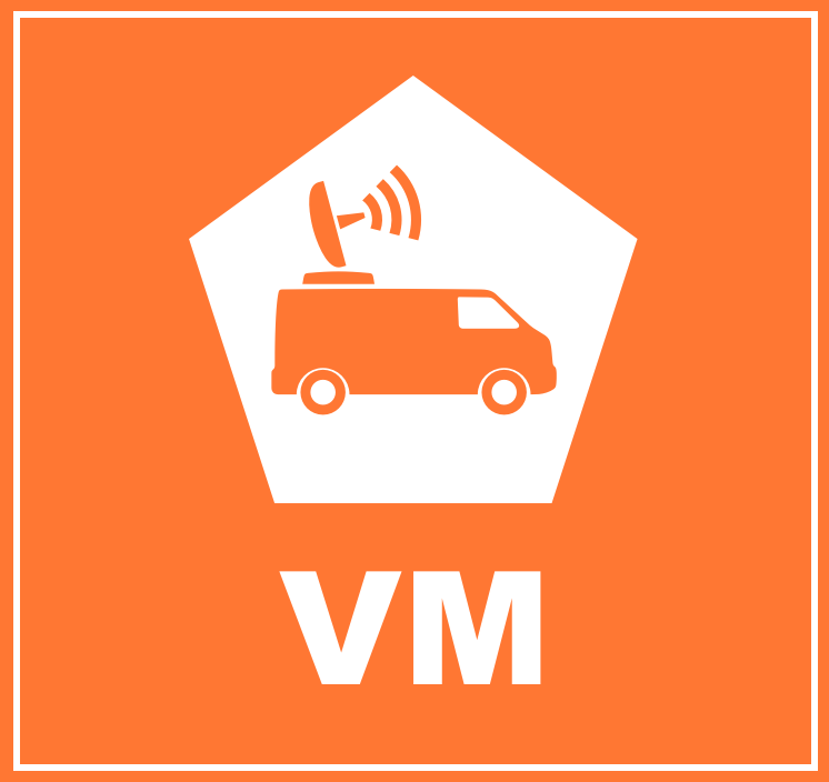 Vehicle Mounted Fast Response Gas Analyzers (VM)
 A variety of UAS’s may be used in a project to record the status of forest conditions at low altitude (e.g., ~1,000 ft) on a routine basis, when a disturbance has occurred (e.g., hurricane, drought, timber operations) or for surveillance of forest activity by landowners or others accessing the site. Typical capabilities may include spectral imaging of the tree canopy and mapping functions to reveal differences along the flight path over time. In addition, UAS’s may also carry miniaturized gas sensors for CO2, CH4 and other atmospheric gases. The use of remote sensing (RS) for ecological research is well documented covering spectral bands for normalized difference vegetation index (NDVI), leaf evapotranspiration and other features of the biotic and abiotic project area.
 Nitrous Oxide (N2O)
 Sulfur Hexaflouride (SF6)
 Tree Plantation
 Perfluorocarbon (PFC)
 Water Vapor (H2O)