
Merimee Kalumba
PROJECT MANAGEMENT CONSULTANT
Merimee Kalumba completed his BSc(Hons) at University of Lubumbashi (Lubumbashi, D.R.Congo) in chemistry. He completed his masters in environmental chemistry studies at Tshwane University of Technology, Pretoria in South Africa. He has published numerous scientific articles, and taught government officials and NGOs from more than ten countries in environmental and development-related courses. He worked as an environmental scientist at Enviro-insight cc in Pretoria, South Africa, then he was a co-director at Enviro-insight DRC and was the principal consultant of Geopractica in the DRC and French speaking countries. He worked also as an environmental coordinator at Tiger resources, Kipoi mine project. Currently is a consultant at UNDP in the REDD+ DRC Strategy and is the director and founder of EmiAfrica. He has a diverse set of skills which includes extensive experience in the fields of environmental management system (EMS), Environmental and Social Impact Assessment, Gas monitoring, climate change adaptation, forest governance, rehabilitation, advisor and lecturing. Mr Kalumba is a passionate member of South Africa Chemical Institute (SACI). Merimee is CEO and Founder of EmiAfrican, an early stage company developing greenhouse gas emission reduction projects in Africa.


 Biodiversity (B) Avoided Carbon
 Gorilla Habitat (G) Avoided Carbon
 Methane (CH4)
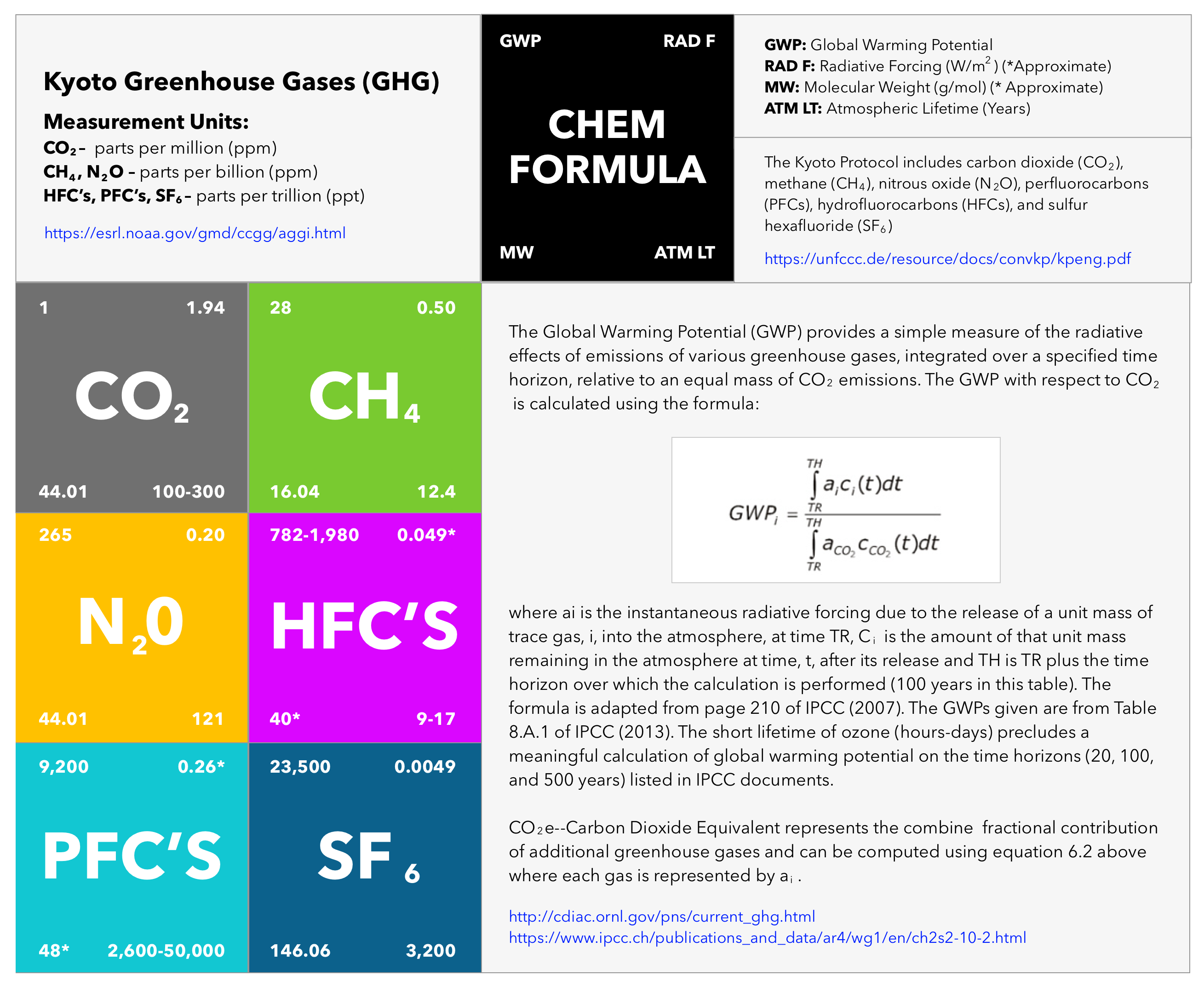
 Indigenous Peoples (IP) Avoided Carbon
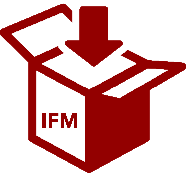 Improved Forestry Management (IFM) Sequestration
 Afforestation (AF) Sequestration
 Agroforestry (GF) Sequestration
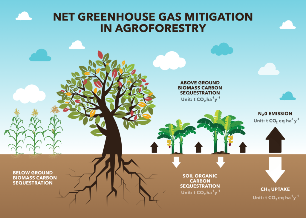
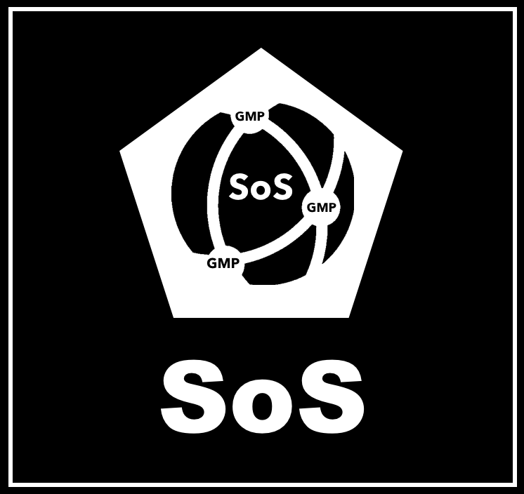 The System of Systems (SoS)
 QuantumQarbon
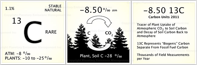
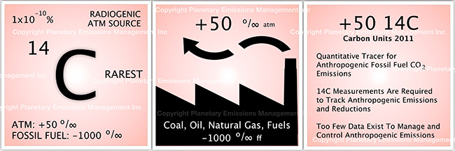
 Carbon isotopic analysis (IA)

 Carbon Dioxide (CO2)
 Working Forest Carbon Sequestration
 Eddy Covariance (EC)
 Soil Accumulation Chambers (SAC)
 Soil gas probes (SGP)
 Exsolvation of Dissolved CO2 (CO2(aqueous)) and CH4
 Vehicle Mounted Fast Response Gas Analyzers (VM)
 Unmanned Aerial Systems (UAS) and Remote Sensing (RS)
 A variety of UAS’s may be used in a project to record the status of forest conditions at low altitude (e.g., ~1,000 ft) on a routine basis, when a disturbance has occurred (e.g., hurricane, drought, timber operations) or for surveillance of forest activity by landowners or others accessing the site. Typical capabilities may include spectral imaging of the tree canopy and mapping functions to reveal differences along the flight path over time. In addition, UAS’s may also carry miniaturized gas sensors for CO2, CH4 and other atmospheric gases. The use of remote sensing (RS) for ecological research is well documented covering spectral bands for normalized difference vegetation index (NDVI), leaf evapotranspiration and other features of the biotic and abiotic project area.
 Flask Collection (FC)
 Nitrous Oxide (N2O)
 Sulfur Hexaflouride (SF6)
 Tree Plantation
 Perfluorocarbon (PFC)
 Water Vapor (H2O)